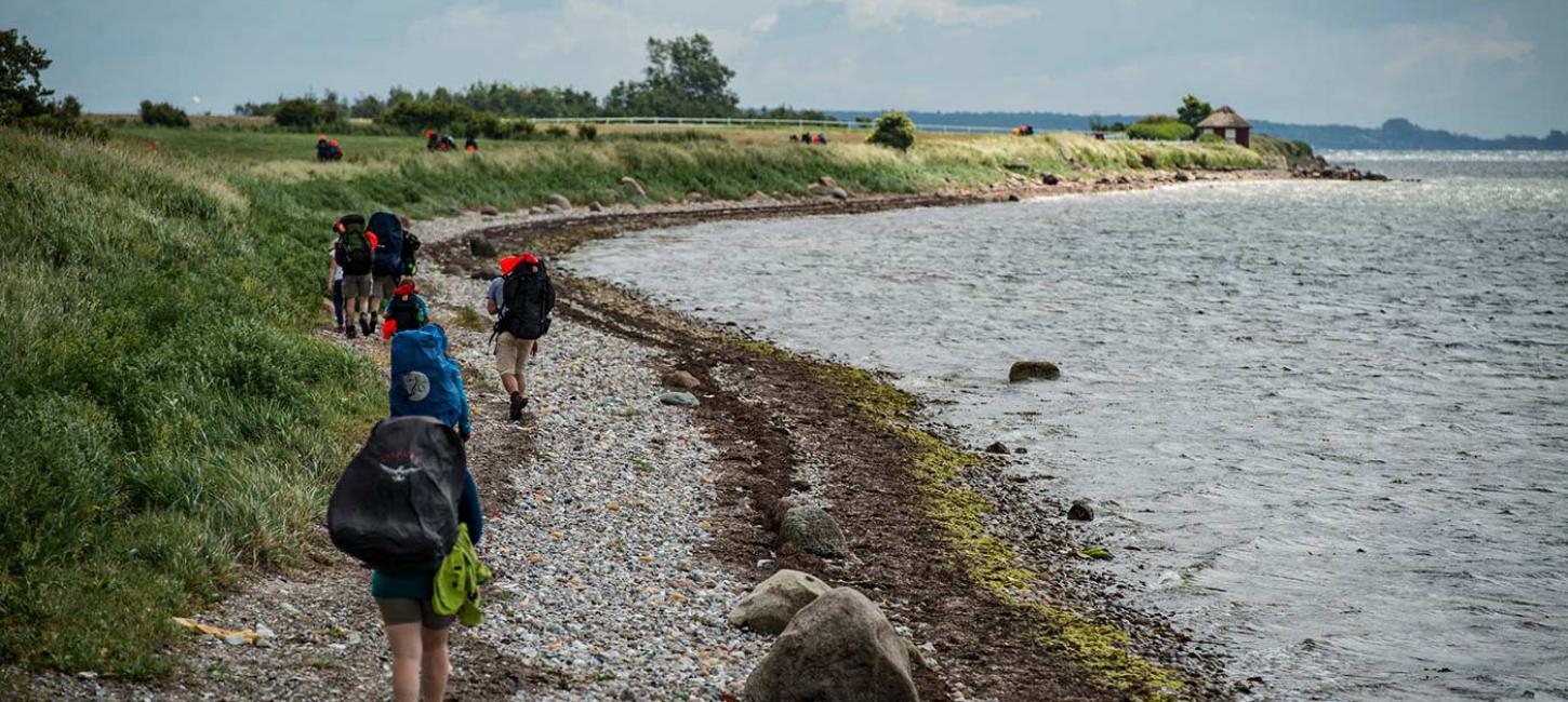
The Archipelago Trail
The archipelago trail has a very diverse course through a unique cultural landscape, with beautiful natural areas, manor houses, villages and market towns, marked by the area's fascinating cultural history.
Map No. 1 Faldsled - Faaborg - Fjeldebroen - 39 km
On this part of the trail you will experience Fyn's lush agricultural landscape, and the mighty hills and valleys created by the last ice age at the Funen Alps. A side track leads to Faaborg, and the main route passes through the hilly terrain through Svanninge Bakker and Svanninge Bjerge to the coast, with spectacular views over the South Funen archipelago along the way.
Archipelago Trail Map 1
Map No. 2 Fjællebroen - Egebjerg Bakker - Svendborg - 30 km
This part of the Archipelago Trail begins at Fjællebroen, an old discharging point, and ends in Svendborg by the road bridge to the island of Tåsinge. On this part of the trail you will have the opportunity to walk along the Sound and across the ice age landscape in Egebjerg Bakker northwest of Svendborg and back out to the coast. The tour offers spectacular vistas of the archipelago, forests and large manor house farms.
Archipelago Trail Map 2
Map No. 3 Svendborg - Broholm - Lundeborg - 30 km
On this part of the trail you start at the Svendborgsund Bridge, walk past the city's vibrant harbor, through the cultural and nature area at Christiansminde through open country and past no fewer than five major farms and estates. The tour ends in the fishing village and trading post Lundeborg where rich discoveries from the Iron Age have been found.
Archipelago Trail Map 3
Map No. 4 Svendborg - Tåsinge - Rudkøbing - 20 km
This stretch of the Archipelago Trail starts at the Svendborgsund Bridge in the north and continues across Tåsinge and Siø to Rudkøbing in the south. On the trip you will pass through the idyllic, historic and completely unique skipper town of Troense. From here there is a great view of Thurø across the narrow Thurø Sound. The trail goes through the coastal forests past the beautiful Valdemar's castle and along the picturesque Lunkebugt. In Rudkøbing you can choose to take the Archipelago Trail further south to Henninge Nor or towards Lohals in the north.
Archipelago Trail Map 4
Map No. 5 Lohals - Tranekær - Stengade Strand
The trail begins in Lohals and, for the first many kilometers, is characterised by the sea and the beach along the western coast of Langeland with beautiful sea vistas from the top of high cliffs. From Kohave, the trail crosses the island through Tranekær town to Langeland's more flat east coast with the beautiful Stengade Strand.
Archipelago Trail Map 5
Map No. 6 Stengade Strand - Rudkøbing - Henninge Nor - 26 km
On this stretch of the Archipelago Trail you will experience the west and east coast of Langeland, where you come through lush forest and hilly landscape. The trail leads you from Stengade Strand in the north over Tullebølle to Rudkøbing town, where you can choose to continue down to Henninge Nor in the south or take the course towards Svendborg over Siø and Tåsinge.
Archipelago Trail Map 6
Kort nr. 7 Marstal - Ærøskøbing - Søby - 36 km
Stien fører fra skipperbyen Marstals havn og løber langs kysten ud i det åbne land, over dæmningen ved Gråsten Nor og ad bakker og snoede veje til Ærøskøbing. Herfra går stien langs kysten forbi Borgnæs og det flotte område ved Ærø Naturpark. Videre på tværs af Ærø forbi det historiske anlæg ved Søbygaard til Vitsø Nor inden stien ender i Søby.